

 Quick Search


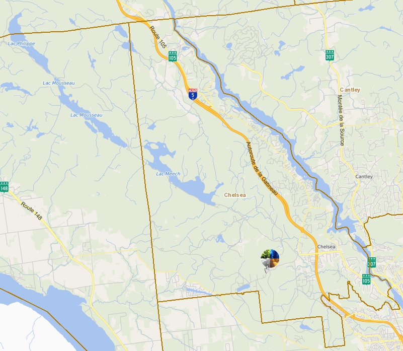
|
28 Chem. Old Chelsea |
Quebec Tourism Region : Outaouais
English Version
Origin and meaning
On the north bank of the Ottawa River, opposite Ottawa, lies this township, which includes the former cities of Hull and Aylmer, now parts of the city of Gatineau, as well as part of Gatineau Park. In a document dated October 14, 1792, it is stated that this township would be known as "Hull." This name was later noted on the Gale and Duberger map in 1795.
The township was described by Joseph Bouchette (1815) and Stanislas Drapeau (1863), the latter specifying that "this vast township is sixteen ranges high and contains three fine parishes and a mission."
Proclamation: 1806. See: Aylmer (city).
Sources
Names and places of Quebec, a work by the Commission de toponymie published in 1994 and 1996 in the form of a printed illustrated dictionary, and in that of a CD-ROM produced by the company Micro-Intel, in 1997, based on this dictionary.
Research note provided by historian Michelle Guitard, 2008-11-24.
Version Française
Origine et signification
Sur la rive nord de la rivière des Outaouais, en face d'Ottawa, se situe ce canton qui renferme les anciennes villes de Hull et d'Aylmer, maintenant des secteurs de la ville de Gatineau, ainsi qu'une partie du parc de la Gatineau. Dans un document du 14 octobre 1792, il est dit que ce canton serait connu sous le nom « Hull ».
Ce dernier est noté par la suite sur la carte de Gale et Duberger en 1795. Le canton est décrit par Joseph Bouchette (1815) et par Stanislas Drapeau (1863), ce dernier précisant que « ce vaste canton a seize rangs de hauteur et renferme trois belles paroisses et une mission ».
Proclamation : 1806. Voir : Aylmer (ville).
Sources
Noms et lieux du Québec, ouvrage de la Commission de toponymie paru en 1994 et 1996 sous la forme d'un dictionnaire illustré imprimé, et sous celle d'un cédérom réalisé par la société Micro-Intel, en 1997, à partir de ce dictionnaire.
Note de recherche fournie par l'historien Michelle Guitard, le 2008-11-24.
Address of this page: http://qc.ruralroutes.com/28050.html