

 Quick Search


|
15 Rte Principale E |
Quebec Tourism Region : Outaouais
English Version
Origin and meaning
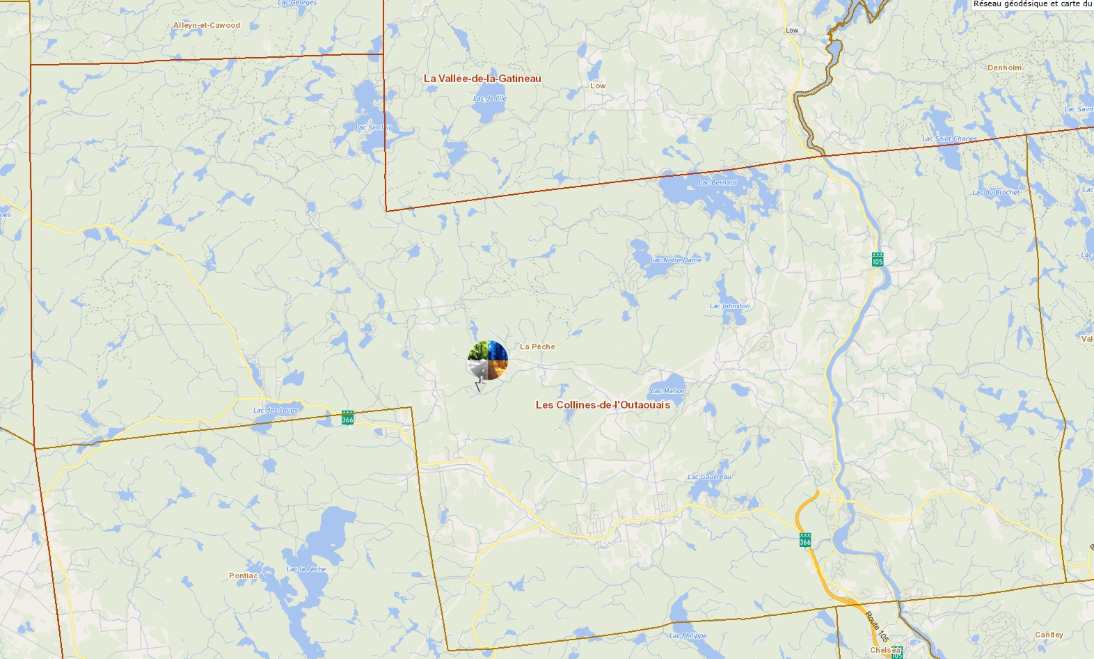
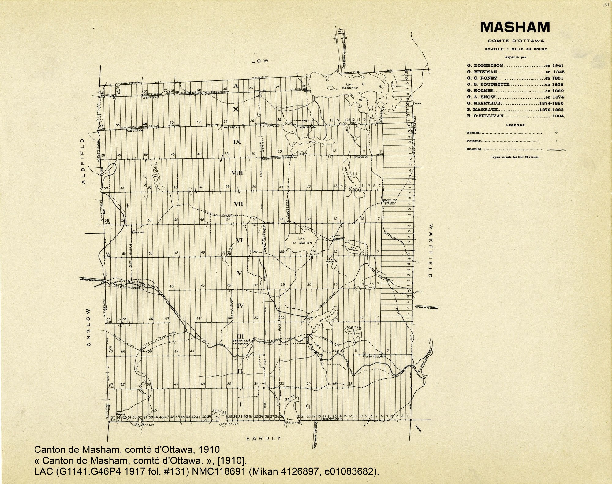
Located 25 km northwest of Hull, in the Outaouais region, is this cantonal territory, which includes part of Gatineau Park and the municipality of La Pêche. Lake Philippe, at the southeastern edge of this territory, and lakes Notre-Dame and Mahon bathe this canton, which is crossed by several small tributaries of the Gatineau, notably the La Pêche River. The name Masham, which appears on the Gale and Duberger map in 1795, is taken from a small town in Yorkshire, Great Britain, about 100 kilometers northeast of Liverpool. Proclamation: 1850.
Sources
Names and places of Quebec, work of the Commission de toponymie published in 1994 and 1996 in the form of a printed illustrated dictionary, and in that of a CD-ROM produced by the company Micro-Intel, in 1997, from this dictionary.
Version Française
Origine et signification
À 25 km au nord-ouest de Hull, dans la région de l'Outaouais, se trouve ce territoire cantonal qui contient une partie du parc de la Gatineau ainsi que la municipalité de La Pêche. Le lac Philippe, à la limite sud-est de ce territoire, et les lacs Notre-Dame et Mahon baignent ce canton que traversent plusieurs petits affluents de la Gatineau, notamment la rivière la Pêche. Le nom de Masham, qui apparaît sur la carte de Gale et Duberger en 1795, reprend celui d'une petite ville du Yorkshire, en Grande-Bretagne, à une centaine de kilomètres au nord-est de Liverpool. Proclamation : 1850.
Sources
Noms et lieux du Québec, ouvrage de la Commission de toponymie paru en 1994 et 1996 sous la forme d'un dictionnaire illustré imprimé, et sous celle d'un cédérom réalisé par la société Micro-Intel, en 1997, à partir de ce dictionnaire.
Address of this page: http://qc.ruralroutes.com/28144.html